Farmland and Riverbed shortcut to Doi Chang, Chiang Rai!
Route Map & Elevation
Road Types
Bikes Used
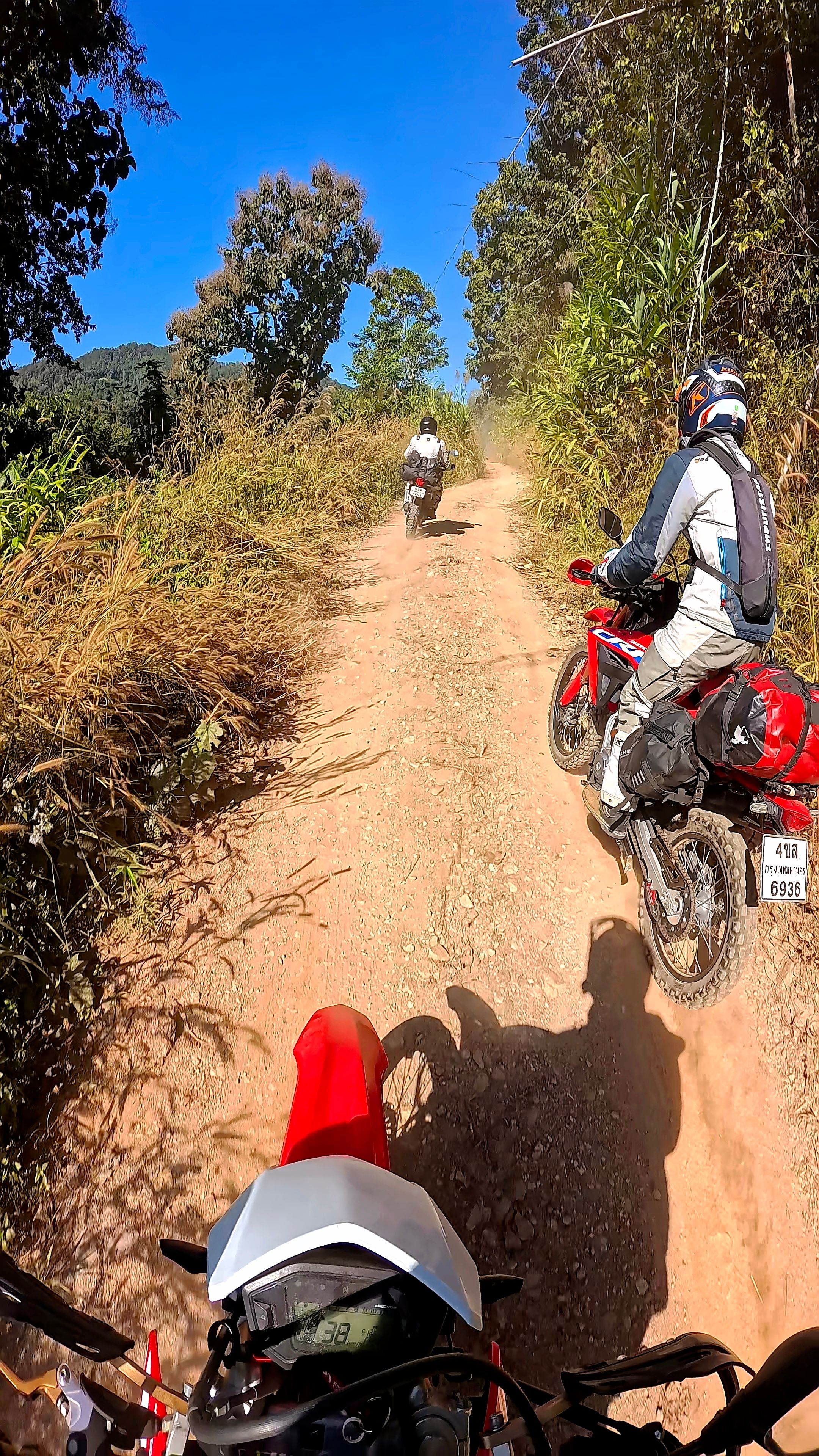
About This Route
This track is a fun shortcut on the way from Chiang Rai to Doi Chang. While this 8 km trail saves you about 9 km compared to taking the road all the way down to Mae Suai, don’t expect it to actually save you any time!
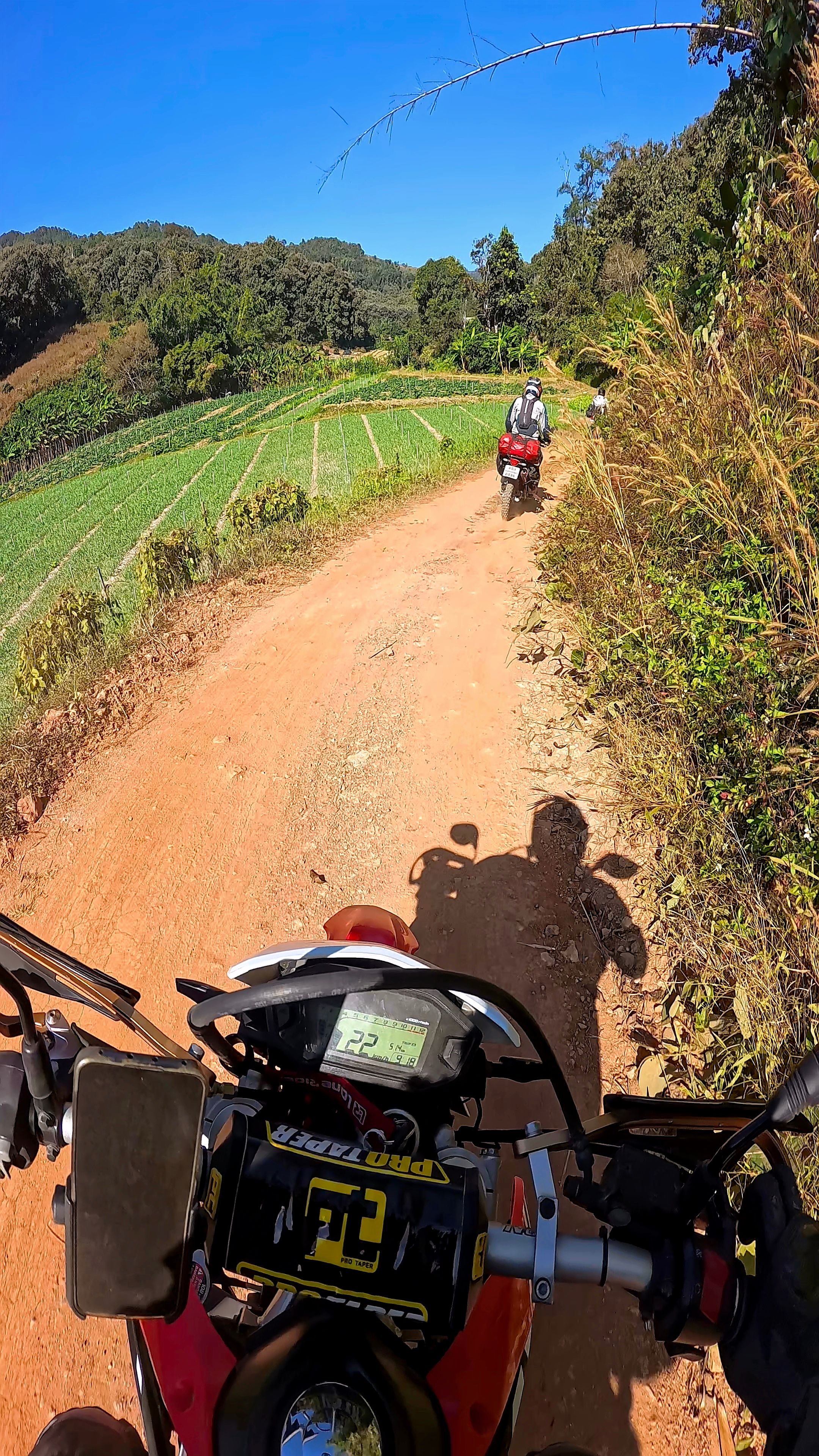
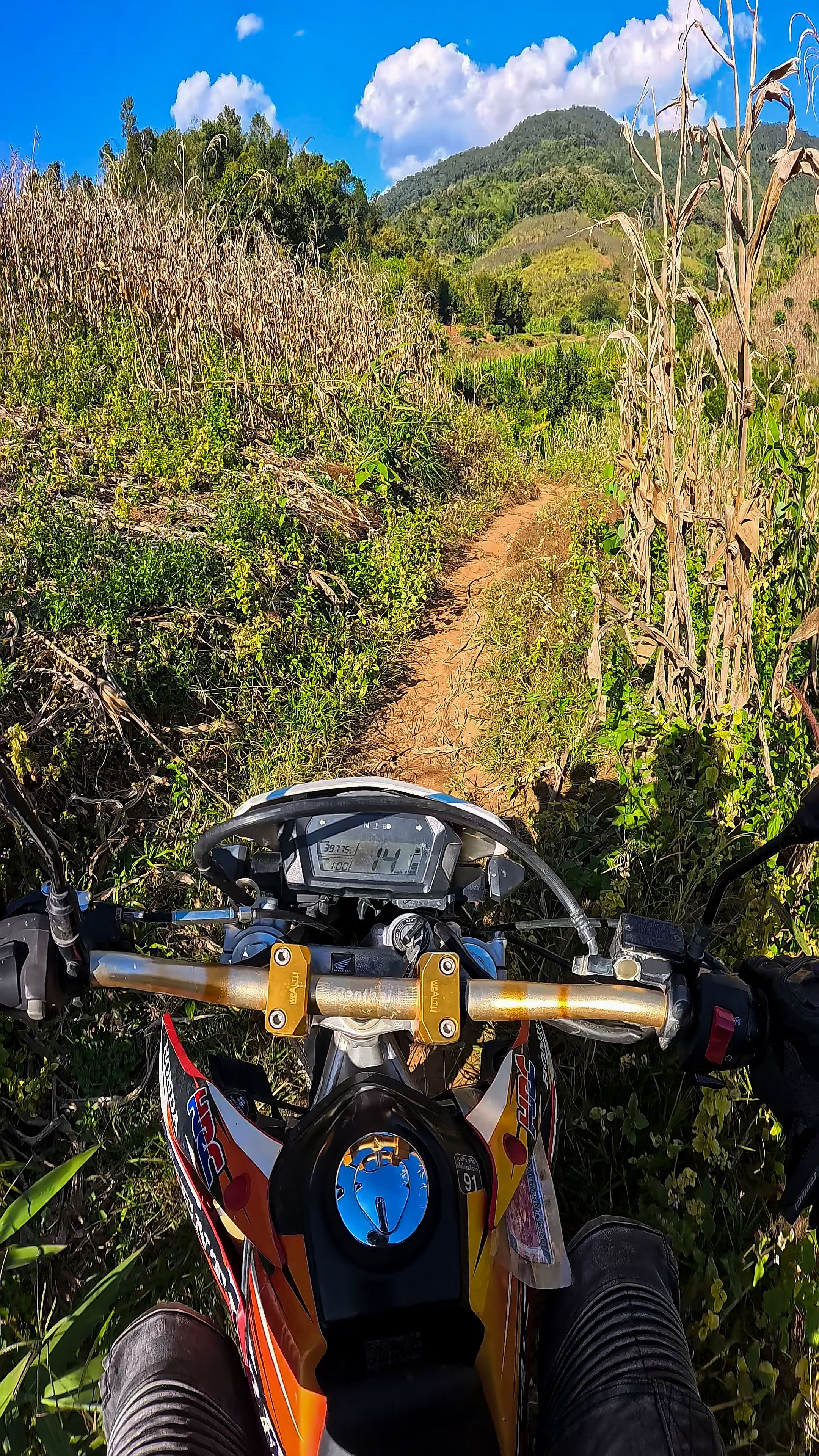
The track starts at Road 118 and ends at 5047. It winds through farmland and climbs from 450 m to 850 m in elevation. The last 2 km features the steepest incline, but it’s nothing dangerous (see the attached GPX).
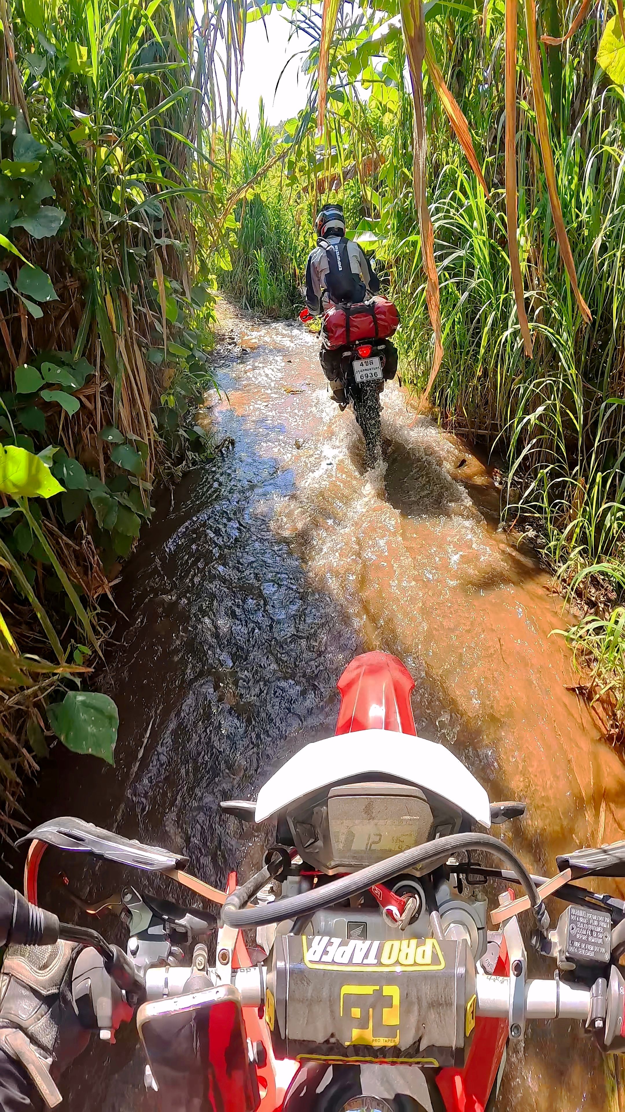
The highlight of the trail is a roughly 100 m section through a small riverbed. With tall corn plants surrounding you, it creates a cool, tunnel-like effect.
Note: From the river section and the following kilometer, the GPS file isn't perfectly accurate, just follow the physical trail. You’ll hit a steeper drop into a river crossing and pass a villager’s house. After the house, pull a 180-degree turn to begin the final climb toward the main road.
Download GPX Tracks
Photos