Microwave Village & Secret Viewpoint - Mae Hong Son
Route Map & Elevation
Road Types
Bikes Used
About This Route
Forty kilometers south of the town of Mae Hong Son lies "Microwave Village." The attached track is a 10-kilometer ride from the main 108 road with about a 1,000-meter elevation gain. The road is 95% paved, but not wide enough for two vehicles to comfortably pass each other, so be careful of oncoming villagers in pickup trucks driving faster than they should around tight curves.
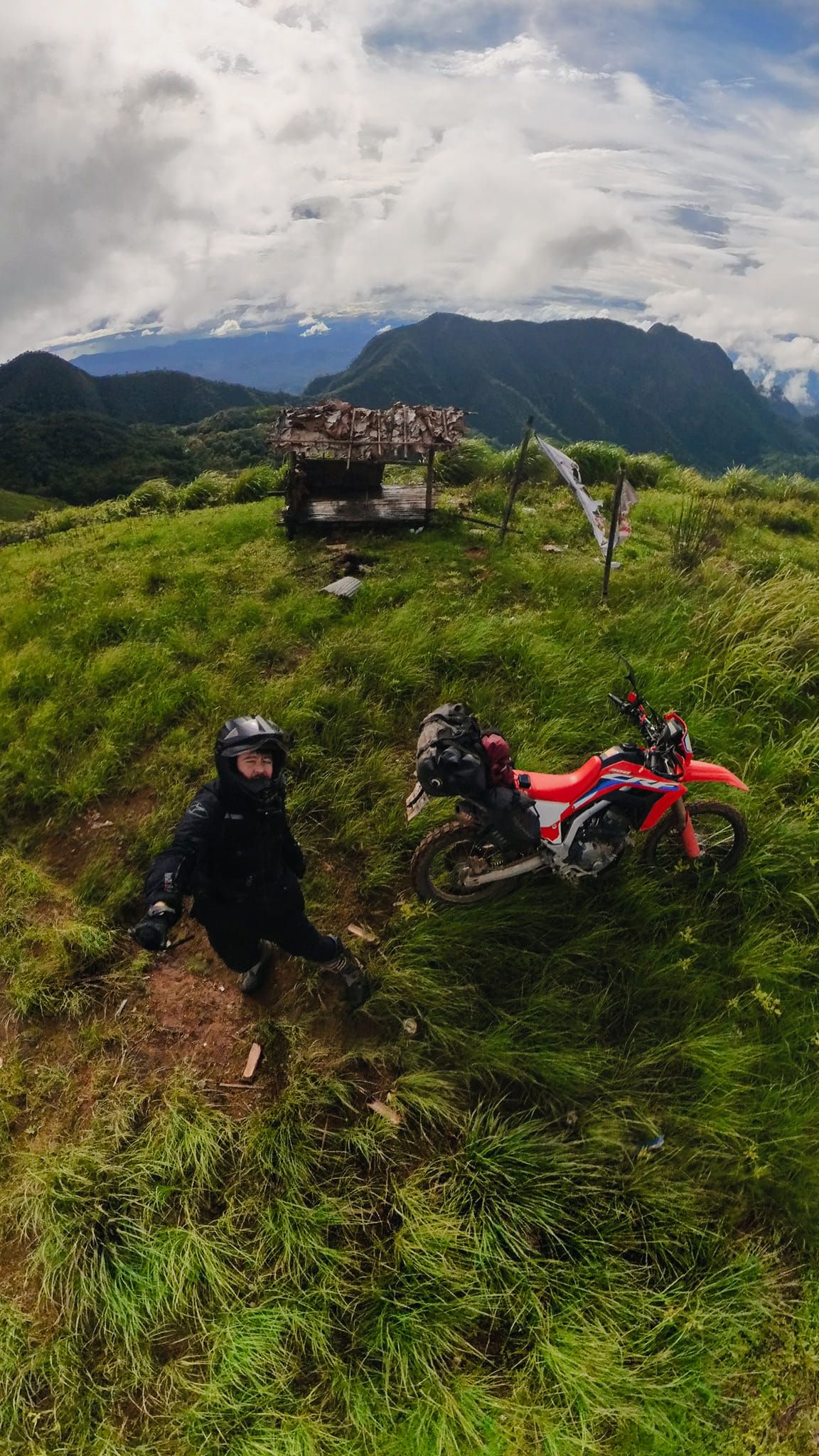
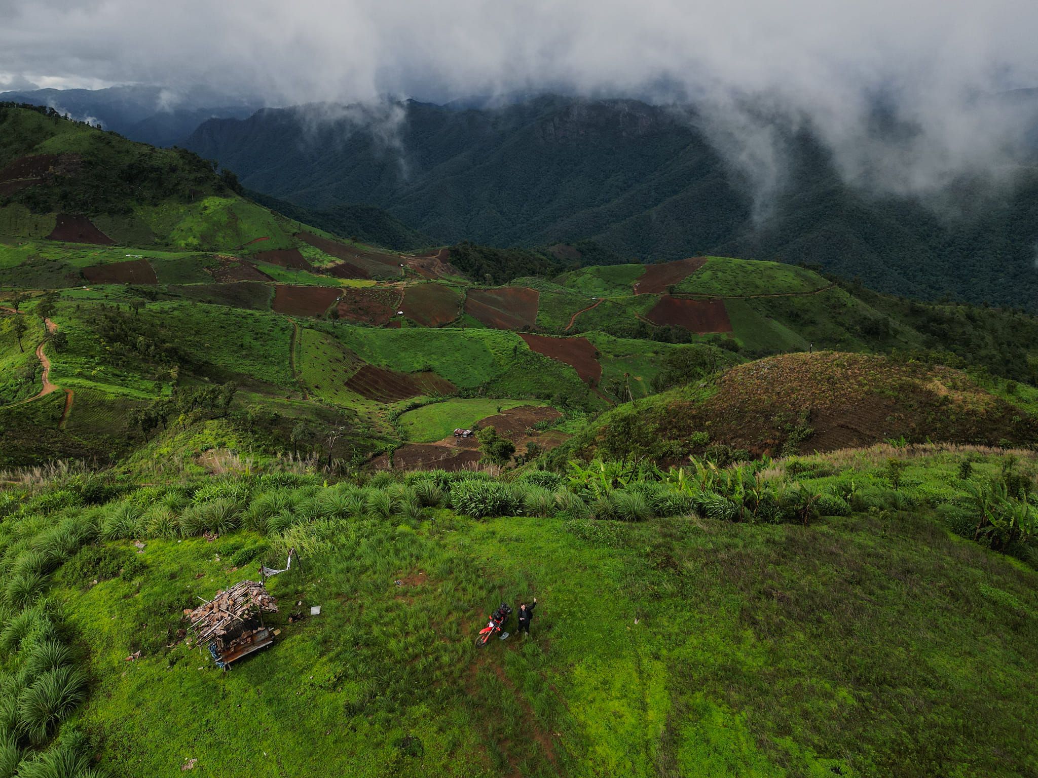
You will pass the village to reach, not far away, some telecommunication buildings and a big tower. Yep, the village is named after this telecommunication infrastructure. From there, the pavement turns to dirt; the viewpoint is 200 or 300 meters away. The surrounding views are mesmerizing, especially if you go during the "green" time of the year. Trails go further into the mountains, but I never ventured past the viewpoint.
What about the "secret viewpoint"? Let's go back to the telecommunication building and park your bike at the entrance. Get in, walk behind the building, and follow the fence on your right side (South). You can expect an opening in the fence at some point. Then, walk down. There is no clearly identified path, but you should end up after ~10 minutes at a few slabs of rock offering an awesome view of the village.
Download GPX Tracks
Photos