Pai to Ban Wat Chan avoiding the roads!
Route Map & Elevation
Road Types
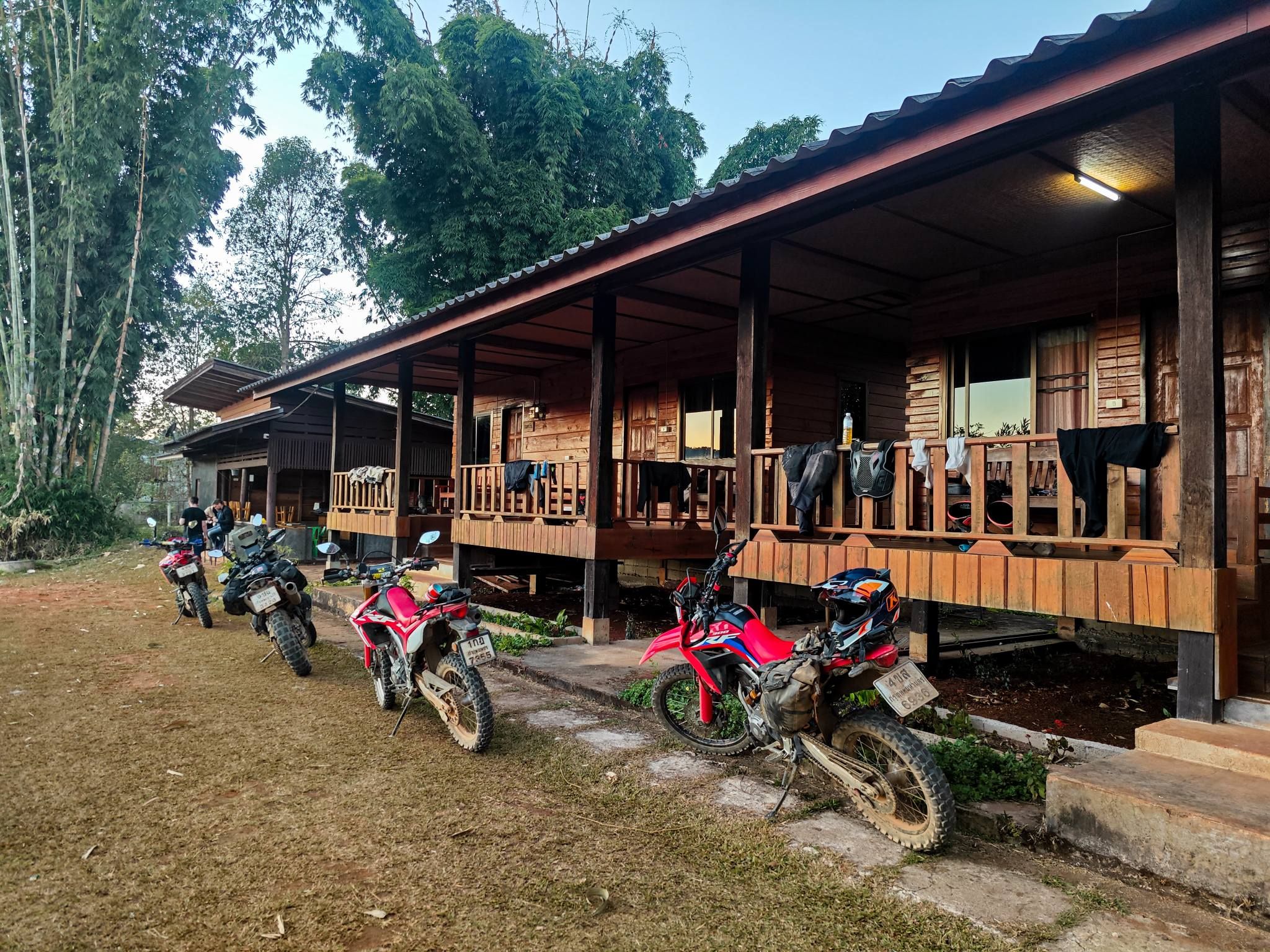
Bikes Used
About This Route
This track takes you from Pai (ปาย) to the small town of Ban Wat Chan (บ้านวัดจันทร์) by connecting to the legendary 'Elephant Trail.'
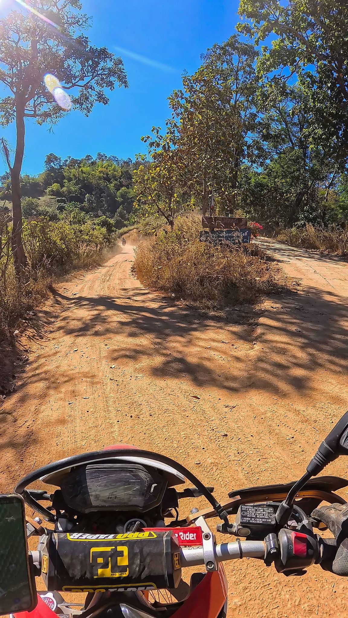
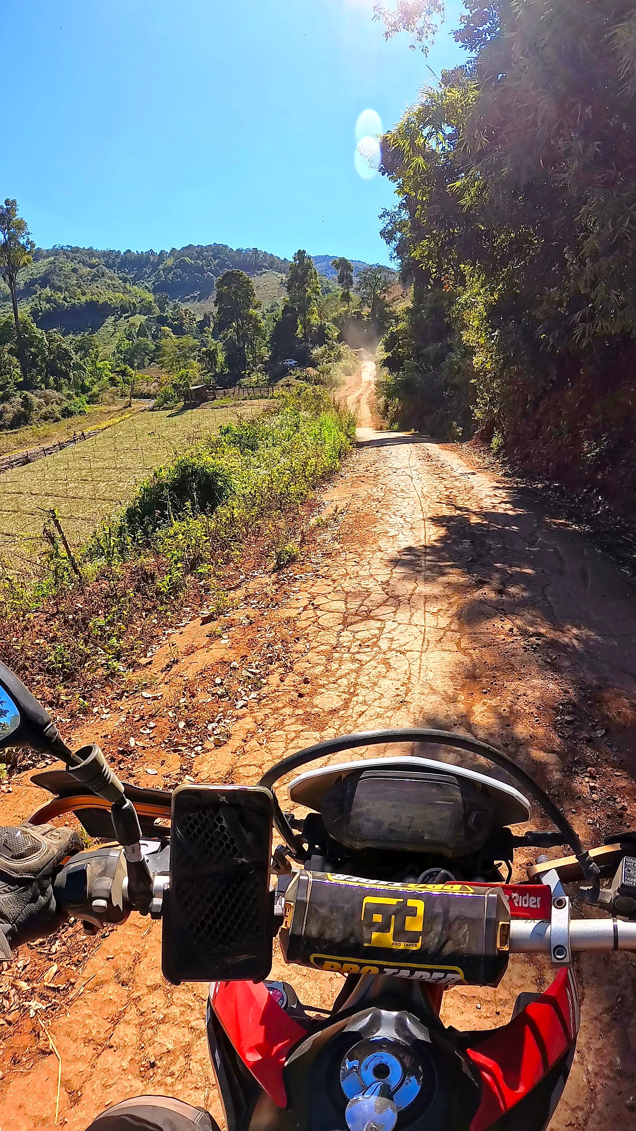
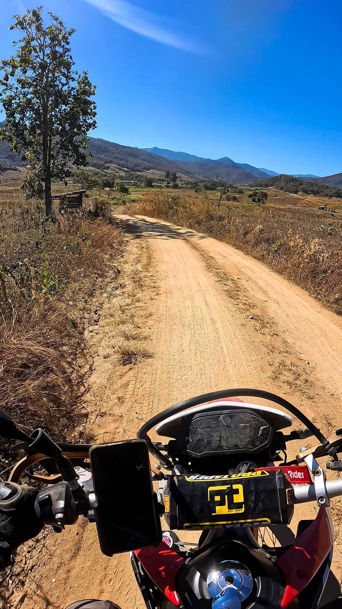
Starting from Pai, the first 23 km is on-road until you reach Ban Sop Sa (บ้านสบสา) in an open valley. This valley features a winding river with roads on both sides, making it a great loop ride if you need to head back to Pai. This GPS track follows the north side of the river, which consists of a mix of dirt and paved roads.
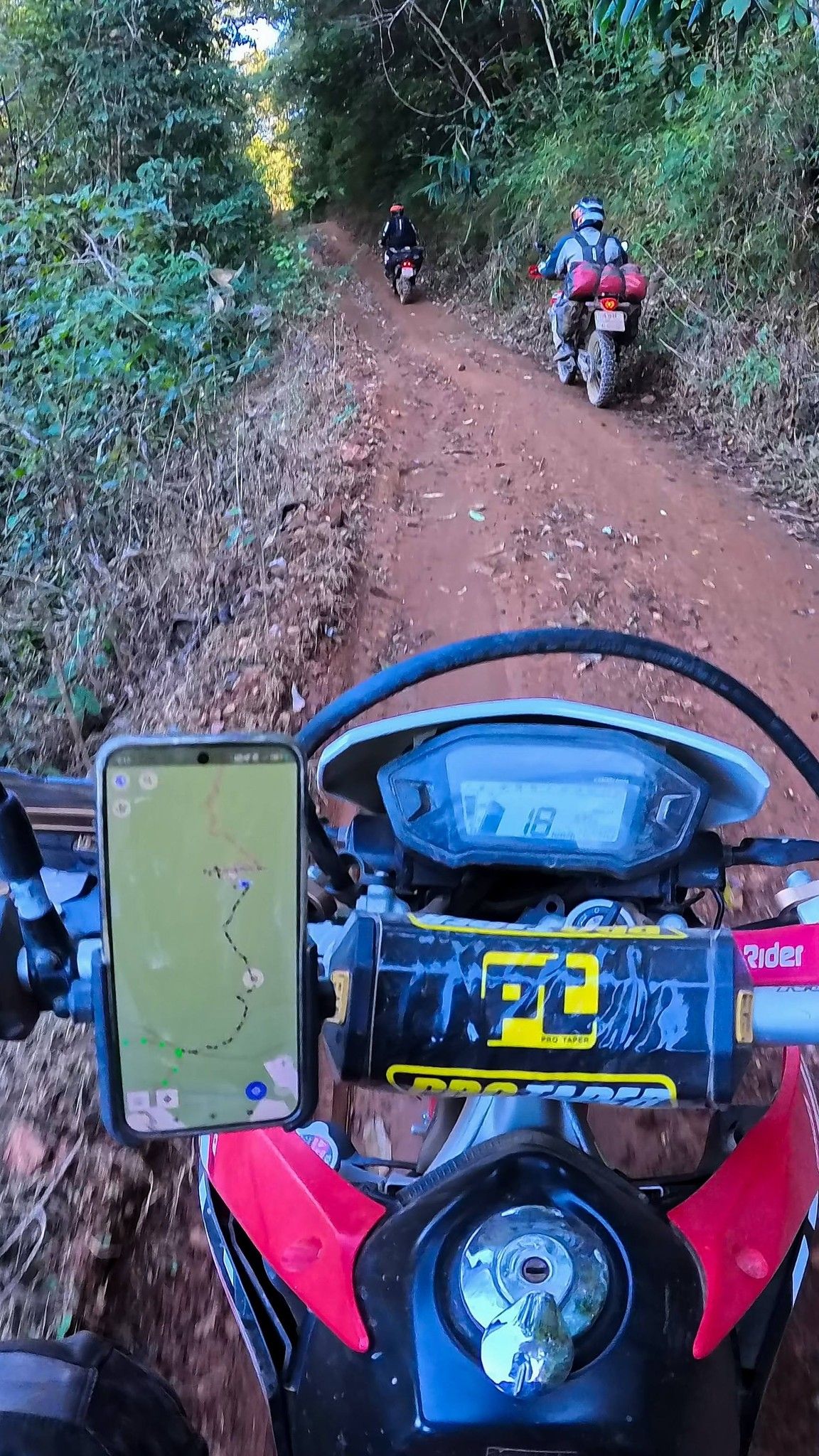
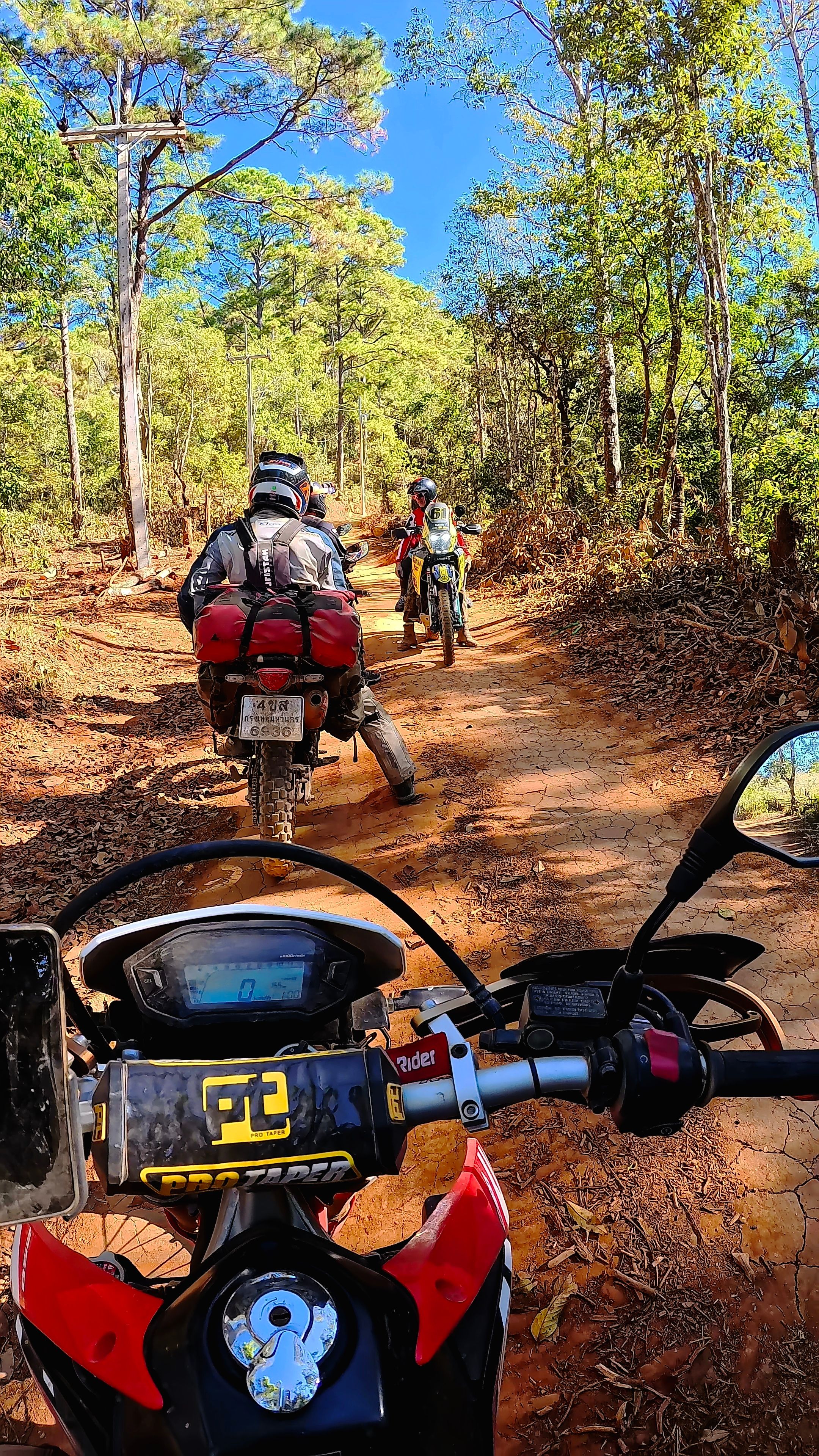
You will leave the valley after crossing a bridge and turning right into the forest. This is where you will start to gain elevation while continuing to ride on a mix of dirt and pavement, which eventually turns into 100% dirt. After 10 km, you need to take a left to head deeper into the mountains. There is a 3 to 4 km shadowy section of the mountain that can be muddy but is manageable.
Finally, you’ll reach the Elephant Road, a wide, bumpy dirt road that leads you straight into Ban Wat Chan.
Download GPX Tracks
Photos